
Sources for Mesa Neighbors
A block lookup works best when the question is split by source. The county map defines the nearby parcels. The Assessor identifies the public owner record for each parcel. Mesa's registered-neighborhood tools name a group and boundary, while Arizona corporate filings can verify an HOA entity. Historical directories show only a dated snapshot.
| Block source | What it reveals nearby | How access works |
|---|---|---|
| Maricopa Parcel Viewer | Adjoining Mesa parcel geometry and links to owner records | Free interactive map |
| County Assessor roll | Mesa owner, situs, mailing address, APN, and deed link | Free Mesa parcel search |
| Mesa Registered Neighborhood map | Community name, boundary, and HOA status | Free address or cross-street map search |
| Arizona Corporation Commission filing | Mesa HOA entity status, statutory agent, principals, and filings | Public entity index |
| Neighborhood Contacts request | City-held Mesa organization contact record | Specific civic-purpose request with privacy review |
| Voter file | Fields available for a use authorized by Arizona law | Restricted request; protected voters omitted |
An owner roll is not a list of all Mesa neighbors. The person named on a parcel may receive tax mail elsewhere. People who do not own land are absent. Treat each row as evidence about a parcel or group, not as a claim about every person on the block.
Map a Mesa Block Outward
The official Mesa block method begins in the Maricopa County Assessor Parcel Viewer. Search one known Mesa address, then move from the anchor parcel to a controlled Mesa group around it. This keeps the Mesa lookup focused on the immediate block instead of turning it into a broad street search.
- Open Search By and choose the Mesa parcel layer. Locate the known Mesa address or APN.
- Select point, line, polyline, extent, circle, polygon, or freehand polygon to frame the nearby Mesa lots.
- Choose Create New Results, Add to Current Results, or Remove from Current Results. Use Buffer Graphic when a set distance around the Mesa parcel is useful.
- Open each selected Mesa parcel's Property Information. Save its APN, owner, situs address, mailing address, and deed reference separately.
- Compare the parcel set with Mesa's registered-neighborhood boundary. Use the Mesa street directory only when the task expands to the whole named road.
Parcel Viewer can enable multi-part selections before Search, which helps with an irregular Mesa block. It can also remove Mesa lots that fall across a major road or outside the intended area. The tool builds a Mesa geographic set, not a public household list.
Mesa Neighbor Buffer Controls
The Assessor's shape and buffer instructions are the most useful technical reference for nearby Mesa parcel work. A line can follow one edge of the Mesa block, a polygon can capture an irregular Mesa cluster, and a circle can test a small radius. Buffer Graphic expands around that shape by a chosen distance. Add and remove modes make it possible to refine the Mesa result without starting again.
Those Mesa controls are especially useful where walls, private streets, curved roads, and large planned-community parcels can make a simple rectangle too broad. Each selected Mesa lot still needs its own Property Information check. The public Mesa owner and tax-mailing fields can differ from the address mapped on the block.
Used with care, the shape search gives Mesa neighbors research a reproducible boundary and a parcel set that can be checked one lot at a time.
Find Mesa Registered Neighborhoods
Mesa Neighborhood Registration covers resident and property-owner groups that may span several blocks or several square miles. The map accepts an address or cross streets. Clicking a colored boundary returns the registered name and available information. Covered group types include block watches, neighborhood organizations, and HOAs.
The registration map gives Mesa neighbors a community layer beyond parcel ownership.
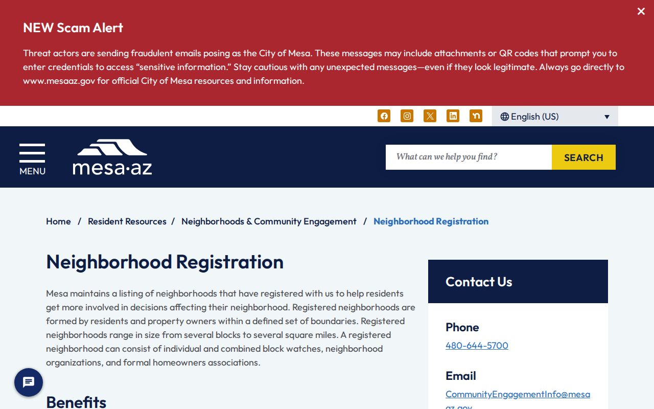
Mesa registration supports maps and notices, not a resident roster. A colored Mesa boundary shows which group has registered with the city. It does not prove that a person belongs to the Mesa group or that its contact details are open without review.
Read Mesa HOA Map Data
The official Mesa HOA GIS layer returned 398 polygons when inspected. Of those, 391 carried links to Arizona Corporation Commission entities. The layer records a name, council district, ACC URL, and geometry digitized from parcels in June 2016. Those facts make it a strong route to an organization, but not proof of current membership or a household directory.
The GIS service view shows how Mesa neighbor geography connects to organization records.
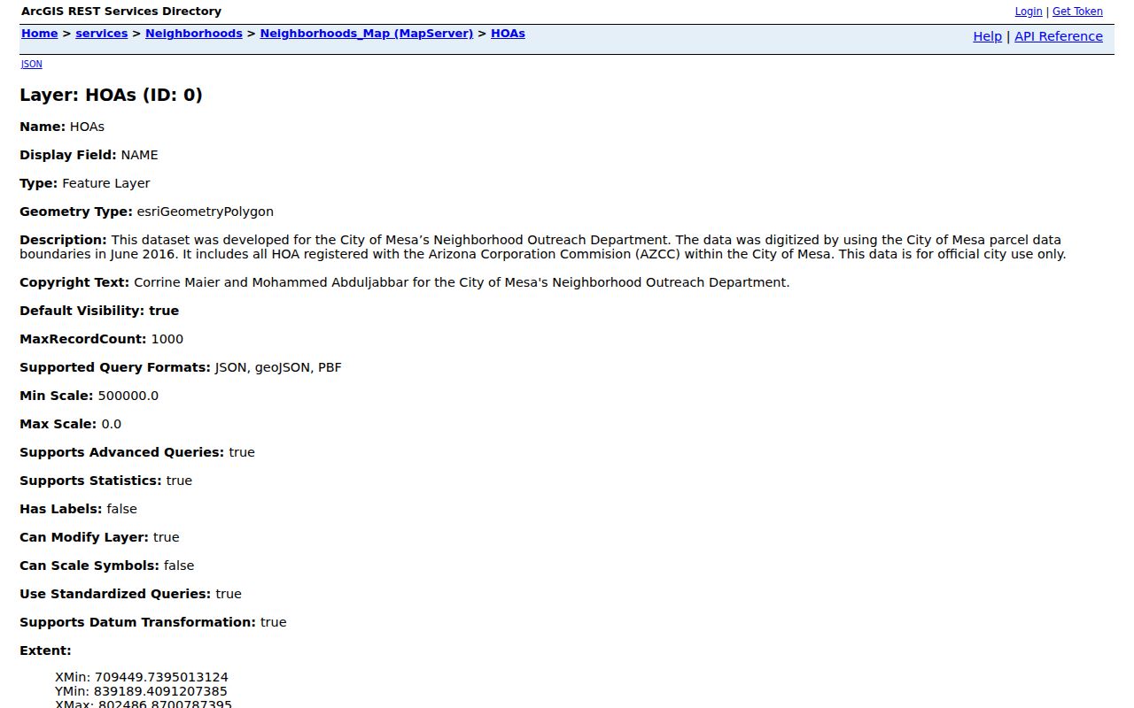
Representative layer names include Avalon Grove, Cachet at Las Sendas, Country Club Estates, Eastridge, Greenfield Village RV Resort, Hearthstone Villas, Hermosa Groves North and South, Highland Ridge, and Arizona Skyline. Names are orientation points only. Open the ACC link to check the legal entity and filings.
Mesa Neighbor Contact Channels
Mesa Community Engagement accepts a specific Mesa Neighborhood Contacts Records Request for legitimate participation or community-event needs. The Mesa request is not a way to obtain a block roster. City staff review what Mesa organization contact material is held and what privacy limits apply. Mesa Community Engagement can be reached at 480-644-5700 or CommunityEngagementInfo@mesaaz.gov.
Registered Neighborhood Map
Search an address or cross streets, then open the colored boundary for the registered group and map context.
Community Engagement
Request a city-held organization contact for a real community participation or event purpose, subject to privacy review.
ACC Entity Search
Follow an HOA map link to verify entity status, statutory agent, principals, and public corporate filings.
The separate Registered Neighborhood layer may also include neighborhood number and name, HOA flag, coordinator, council district, school district, police district, and ACC information. Those are civic and geographic fields. They do not identify each household inside the line.
Verify Mesa Organizations, Not Members
The useful Mesa chain is address to neighborhood boundary, boundary to group name, and group name to an official entity record. The Arizona Corporation Commission entity search can return Mesa entity status, formation details, known place of business, statutory agent, principals, and filing documents. A statutory agent is a legal contact, not proof of who owns or occupies every Mesa property.
Mesa's active business-license dataset can add public business context near a block. It includes active licenses and lets users filter business type, DBA, and NAICS. Home-based exact addresses are redacted, and mapped coordinates are rounded within 1.11 kilometers. Those controls deliberately stop the data from becoming a home-business location list.
The Mesa active business-license view shows the available civic dataset.
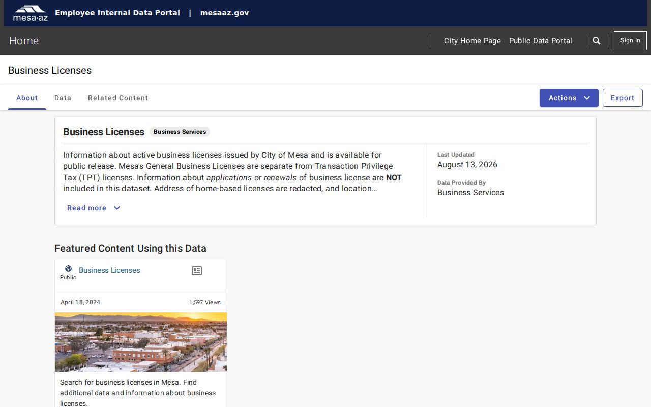
Use it to understand public activity near a place, not to infer who lives at a redacted or rounded point.
Request Mesa Neighborhood Records
The Mesa GovQA portal is the general request channel when a needed city record is not already online. Mesa also publishes department-specific choices for neighborhood contacts, City Court, Development Services, police, fire, and other city records. A narrow request should name the existing record, date range, organization, address, and preferred electronic form.
The GovQA support screen is the documented fallback for Mesa neighbor records held by the city.
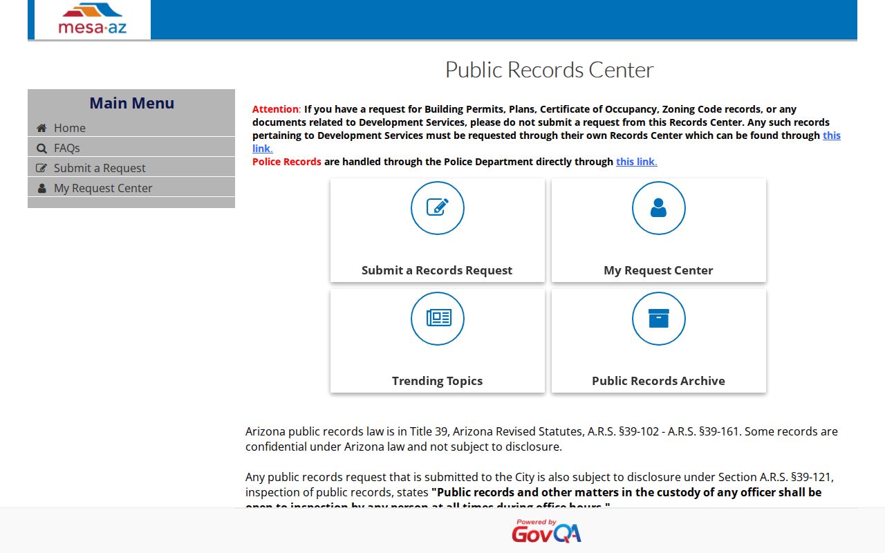
Arizona Public Records Law calls for prompt access to public records, but it does not require an office to create a new neighbor list. Confidential details can be withheld or redacted, and a large or unclear request can take time to route and review.
Mesa Neighbors and Voter Data
Arizona voter records are not an open map for browsing everyone on a Mesa block. The public Voter Information Portal is identity-keyed. A person-specific Maricopa County request requires a full name, date of birth, and last known address. Requests may use the county portal, email, fax, form, or a free inspection appointment, but the purpose and requested format still must comply with election law.
A.R.S. § 16-168 defines public precinct-register fields and limits voter-file uses. Protected voters are omitted under A.R.S. § 16-153. The Address Confidentiality Program also supplies eligible participants a substitute address accepted by state and local agencies. A missing or substitute address is an intentional safety boundary, not a gap to work around.
Voter records can support a lawful election-related task within the allowed terms. They should not be combined with parcel data to reconstruct protected identities or unseen household members.
Official Mesa Neighbor Sources
Official records and commercial neighbor tools are built for different aims. County and city sources name their custodian, define fields, and provide a correction or request path. Commercial compilations combine many feeds, can lag source updates, and may merge people with similar names. A paid result is not more official because it contains more fields.
| Source type | Best evidence | Main caution |
|---|---|---|
| Assessor and Parcel Viewer | Current parcel, owner roll, map geometry | Ownership does not establish occupancy |
| Mesa neighborhood systems | Registered group, boundary, and city-held contacts | No household roster; privacy review applies |
| ACC entity filings | Organization status and legal contacts | Agents and principals are not all members |
| Commercial compilation | Broad leads drawn from mixed sources | May be stale, merged, incomplete, or costly |
For a disputed fact, return to the public office that owns the record. Save the APN, entity number, request number, or other stable identifier so staff can review a precise item.
Privacy Limits for Mesa Neighbors
A parcel record identifies an owner, not every person at a Mesa address. People who do not own the parcel and other household members are usually absent. Mesa utility customer names, addresses, and payment details are privileged and unavailable. Motor-vehicle personal information is restricted by federal law. Protected voter addresses and Address Confidentiality Program locations remain shielded.
Historical material has a time limit of its own. A criss-cross directory is a publisher's dated snapshot, not a present roster. An HOA polygon traces an organization boundary from mapped data, not a list of members. Even an official recorded document can contain a return address that differs from where a party lived.
Lawful use. Use Mesa neighbor records for civic participation, family research, reconnecting, or personal safety awareness. Never use them to stalk, harass, threaten, or intimidate anyone.
The responsible Mesa endpoint is often a boundary. Respect a Mesa redaction, protected record, or closed field, and confirm any important Mesa claim with its custodian.