
Mesa ZIP Directory Coverage
Mesa's official open-data polygon set contains 13 ZIP codes. The area names below are for orientation, not legal boundary claims. A station is listed only where the research verified one. For any exact address, confirm the USPS delivery result and overlay the point with Mesa jurisdiction data before choosing a city, county, or state records office.
| ZIP Code | Areas Covered | Post Office | Notes |
|---|---|---|---|
| 85201 | Downtown, west-central, Riverview and Lehi edge | Mesa PO, 135 N. Center St. | Old townsite records may help |
| 85202 | West Mesa and Dobson Ranch | Mesa Dobson, 2415 W. Broadway Rd. | Verified station |
| 85203 | North-central, east downtown, Lehi and Groves | USPS Mesa routing group | Routes with 85213 |
| 85204 | Central-south and east of downtown | Not verified | Check USPS for the address |
| 85205 | Northeast-central and Alta Mesa vicinity | USPS Mesa routing group | Area label only |
| 85206 | East-central, Leisure World and Sunland vicinity | USPS Mesa routing group | Routes with 85207 |
| 85207 | Far northeast, Las Sendas and Red Mountain | Routed with 85206 | USPS bulletin routing |
| 85208 | East, southeast and Superstition corridor | USPS Mesa routing group | Routes with 85209 and 85212 |
| 85209 | Southeast and Augusta Ranch | Routed with 85208 | Area label only |
| 85210 | Southwest-central, Fiesta and downtown southwest | Not verified | Verify Mesa or Dobson routing |
| 85212 | Far southeast, Gateway, Eastmark and Cadence | Routed with 85208 | All three Mesa CFDs are here |
| 85213 | Northeast-central, Groves and Orange Patch | Routed with 85203 | Area label only |
| 85215 | Falcon Field and Red Mountain Ranch | Falcon Field PO, 5155 E. Eagle Dr. | Verified station |
Legacy Mesa-associated codes 85211, 85216, 85274, 85275, and 85277 appear in historical USPS routing documents but not in the current city polygon dataset. The data also does not establish any current PO-box-only or institution-unique Mesa code. USPS confirmation is required before assigning a current classification.
Map Mesa ZIP Polygons
The Mesa ZIP Code Boundaries dataset is the city source for the 13 polygons. It is useful for seeing which postal areas cross or approach municipal edges. Yet the geometry does not promise USPS delivery for a specific address and should not be read as a roster of residents.
The city's ZIP boundary map and dataset provide the broad view behind the Mesa ZIP code directory.
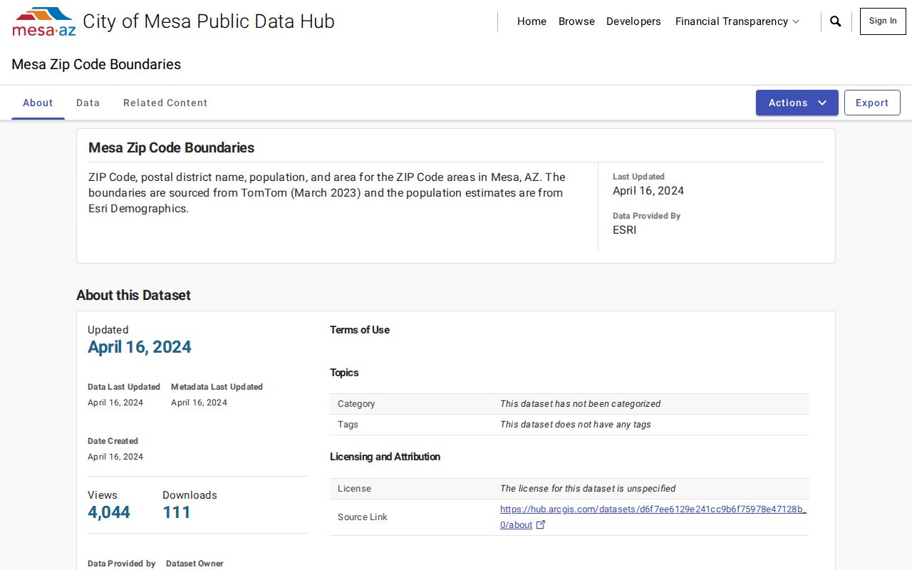
Use the map to select a search area, then confirm each address in the record system that governs it.
Census geography adds one more caution. The Census Mesa place profile includes ZCTA overlaps 85120 and 85142 near the Pinal-side edge. A ZCTA is a Census approximation of postal delivery geography, not an ordinary Mesa postal-city designation. Those overlaps do not add two codes to the city's verified polygon list.
Read Mesa ZIP Address Data
Mesa's Addresses dataset carries the street number and fraction, street, unit, full address, jurisdiction, land status, council district, site or unit classification, and floor. It also assigns addresses to public assets such as hydrants, poles, signals, meters, and streetlights. An address row therefore cannot be presumed to be a home or person.
The Mesa address and jurisdiction dataset illustrates the fields that separate a postal hit from a municipal record.
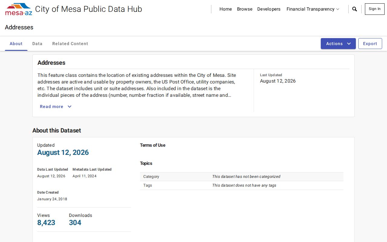
Jurisdiction and site classification should be checked before the ZIP result is used to route a permit or records request.
The Street Centerline dataset adds left and right low and high address ranges plus public or private maintenance. Those ranges help place an address on a block. They still do not show who lives there.
Find Mesa Residents by ZIP
The ZIP code directory is a narrowing tool. USPS verifies delivery. Explore Mesa checks jurisdiction. Maricopa Parcel Viewer can accept ZIP as a known-value search or deep link, and the Mesa permit dashboard can filter records by ZIP before using address, status, or council district. Parcel map results represent parcels and owners, not a resident roll. Voter information remains governed by identity and authorized-use rules, not casual ZIP browsing.
- Enter a complete deliverable address in USPS ZIP Lookup. Save the standardized street and ZIP result.
- Open Explore Mesa with ZIP Code and MesaJurisdiction layers. Route city records to the actual government shown at the point.
- Search the Assessor or Parcel Viewer by standardized address or ZIP. Open parcels one at a time and distinguish the site from the owner's mailing address.
- Use Mesa's permit dashboard ZIP filter, then narrow with address, status, or council district. The results cover the city's administered dataset only.
- For records before 1963, omit the ZIP. Search by street, subdivision, legal description, directory section, or census geography.
Once a code has narrowed the area, the Mesa by-street directory carries the search down to a named street and individual parcel.
Mesa ZIP Search Fields
The ZIP-capable tools ask different questions. A postal form returns a standardized delivery answer. Parcel Viewer works with known values and geographic selection. Mesa's permit dashboard filters records within the city's system. Keep the source type beside every result so a map area is not mistaken for a resident listing.
| Official tool | ZIP-related input | What it returns |
|---|---|---|
| USPS ZIP Lookup | Complete deliverable address | Standard street and delivery ZIP |
| Parcel Viewer | ZIP known value or deep link | Parcel geography within the selected area |
| Explore Mesa | ZIP and MesaJurisdiction layers | Visual boundary comparison |
| Permit dashboard | ZIP, then address, status or district | Municipal permit records in its dataset |
| Street Centerline | Left and right address ranges | Block range and maintenance fields |
The Maricopa Parcel Viewer ZIP help documents the GIS deep-link approach.
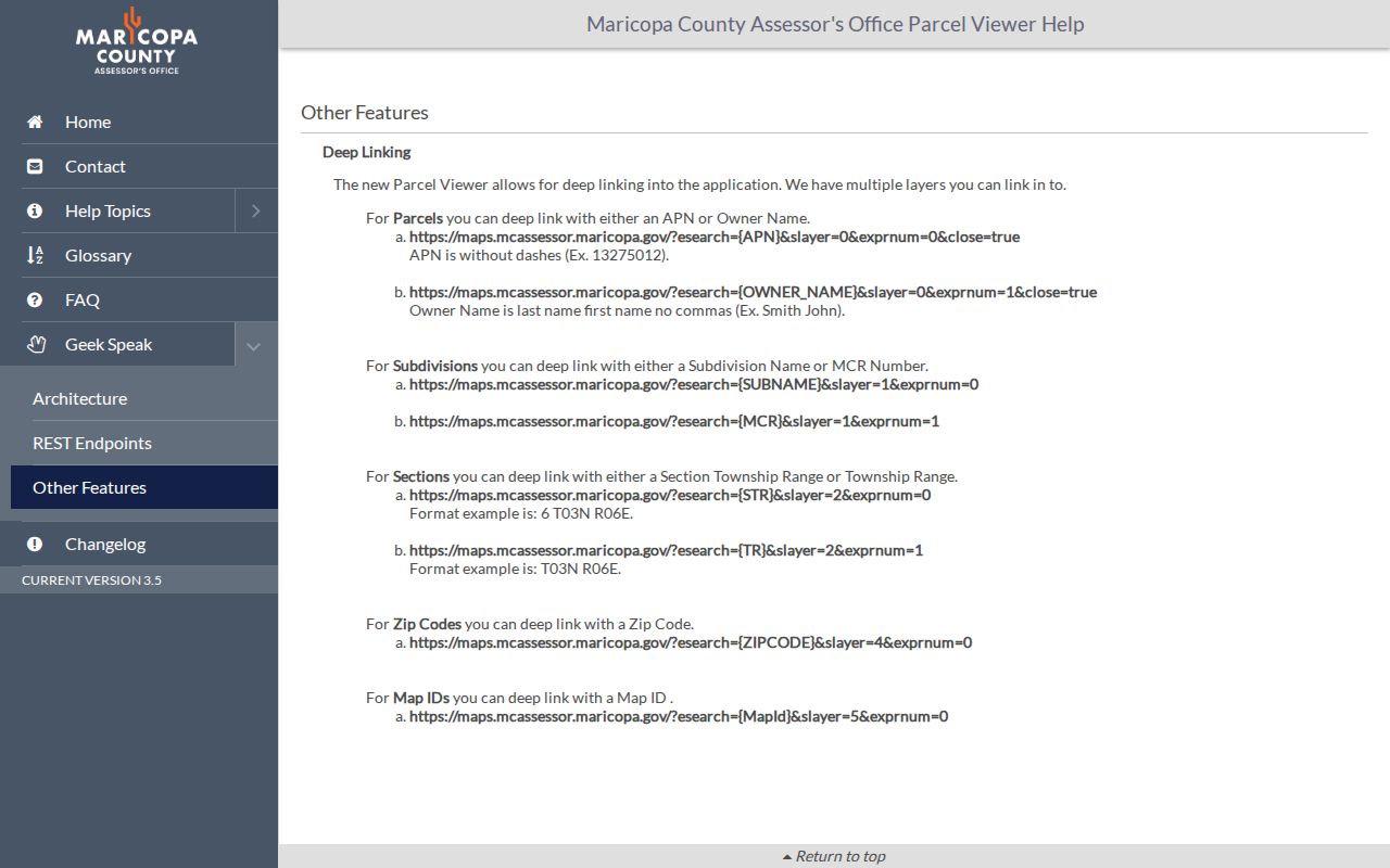
The documented ZIP mode identifies a map area; each parcel still requires its own inspection.
Verify Mesa Postal Routing
A Mesa ZIP code directory result begins with delivery, not incorporation. The USPS ZIP Code Lookup is the source for standardizing a full address. It can settle the current mailing code even when an old source, neighborhood label, or legacy routing table points elsewhere.
The official USPS address-to-ZIP form shows the proper postal entry point.
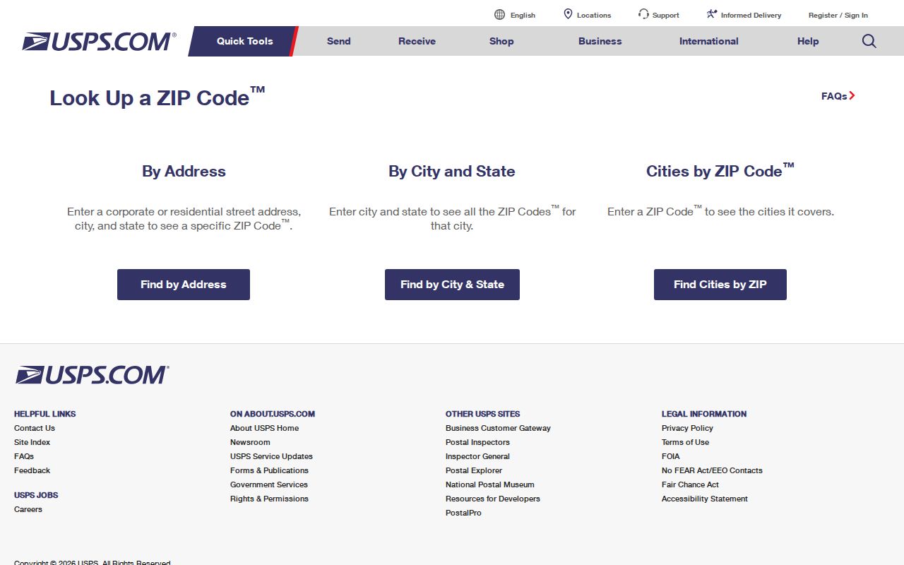
Carry the standardized result into the city and county tools without assuming that the mailing city controls local permits or public safety records.
Verified facilities in the research include the Center Street, Dobson, and Falcon Field offices. A missing dedicated station in this directory means the facility was not verified, not that the ZIP is invalid. Check USPS for current routing and service details.
Mesa ZIPs and City Limits
ZIP routes, Census ZCTAs, postal-city names, and Mesa's incorporated boundary are four different layers. A USPS Mesa line can sit beyond municipal jurisdiction, while a Census overlap may carry a neighboring code at the edge. That difference controls which office holds permits, code cases, police records, or fire files. Check the point in both the ZIP and MesaJurisdiction layers before making a request.
- ZIP vs ZIP+4
- A ZIP names a broad delivery area; ZIP+4 narrows a delivery segment within it.
- PO-box ZIP
- A code assigned mainly to post-office boxes rather than normal street delivery.
- Unique ZIP
- A code assigned to one high-volume organization or site.
- Carrier route
- The smaller sequence of addresses served by one delivery route.
None of these postal units replaces a parcel boundary or city line. Match the ZIP to the specific task, and retain the jurisdiction result with any Mesa records request.
Boundary check. A Mesa mailing label does not prove that Mesa is the government responsible for the address.
Mesa ZIP Growth Eras
Mesa stayed a one-square-mile townsite for its first 50 years. Six subdivisions annexed in 1930 doubled the area. By 1950 the city covered more than six square miles with about 17,000 residents, and by 2000 it had reached 125 square miles and 396,375 residents. That long expansion helps explain why a modern ZIP, an old directory, and today's city line may not agree.
Different postal zones also suggest different source eras. Codes 85201 through 85204 cover the old downtown and west or central areas where 1951 and 1952 directories, historic plats, and Mesa Room sources can help. In 85205 through 85209, midcentury growth makes subdivision plats, CC&Rs, Assessor data, and postwar phone or directory records more useful. Far-southeast 85212 is tied to Gateway, Eastmark, Cadence, current permits, and community-facilities districts.
Northeast 85213 and 85215 connect Groves and Falcon Field geography with farm plats, later subdivisions, and aerospace history. These are research starting points, not fixed neighborhood boundaries.
Mesa ZIP Address Identities
One property can carry three address identities. The situs address is its mapped physical site. The mailing address is where correspondence goes and may belong somewhere else. The legal description identifies the land by lot, block, subdivision, or metes and bounds. A ZIP code directory is strongest when it keeps these fields separate.
An Assessor result can show the parcel and owner but not every person at the address. Likewise, a ZIP-wide GIS result shows parcels or areas, not residents. Preserve the standardized street address, APN, and legal description when a search moves from postal routing to property or deed records.
Note: For older Mesa records, a legal description or subdivision name often survives changes that make a modern ZIP search fail.